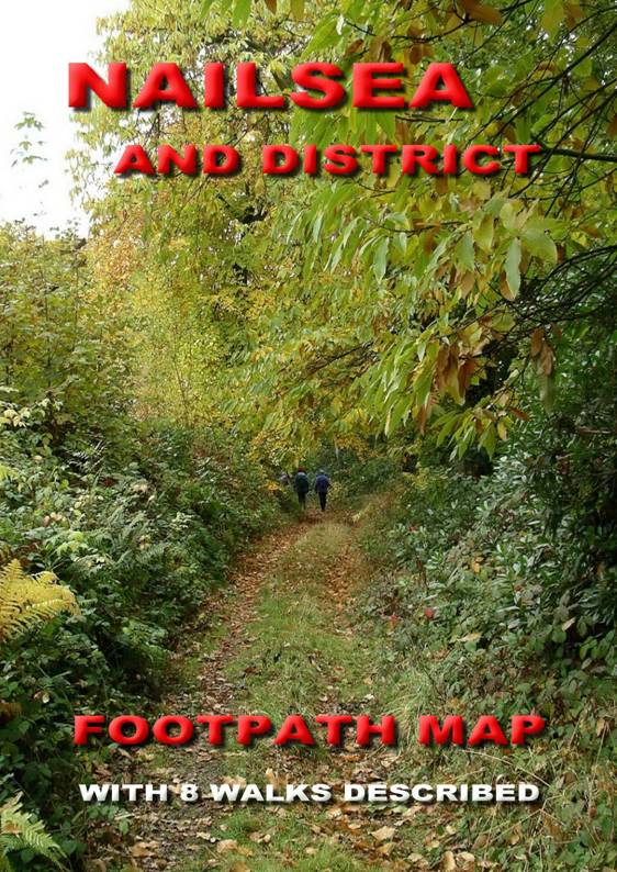
 The Nailsea and District Footpath Map is a convenient A5
sized book covering an area of 96 square km centred on Nailsea.
As well as public rights of way, the map shows many permissive paths not
shown on Ordnance Survey maps. The
scale is twice as large as OS Explorer maps (1:12,500), making it easy to
follow. The official path numbers
are also included.
The Nailsea and District Footpath Map is a convenient A5
sized book covering an area of 96 square km centred on Nailsea.
As well as public rights of way, the map shows many permissive paths not
shown on Ordnance Survey maps. The
scale is twice as large as OS Explorer maps (1:12,500), making it easy to
follow. The official path numbers
are also included.
Price: £5:95 + p&p.